(Ignore the route lines going off the top of the map. Microsoft Streets knows about the Gifford Ferry, but wouldn't let me route across it).
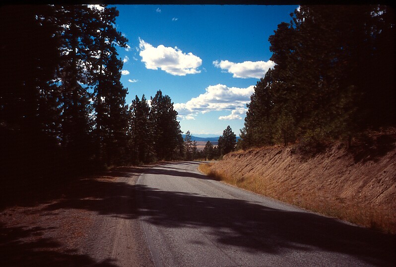
Climbing Bridge Creek Road. |
Day 3: Bridge Creek to Chewelah50 miles We finished our ride on the Colville Indian Reservation today. Came down off of Bridge Creek road (peak at about 3700ft I think) and coasted down to Twin Lakes campground. I'm glad that we found our little camping space along the road -- it was a lot quieter and prettier than Twin Lakes. From Twin Lakes it was about 10 miles down to the Gifford Ferry (free, crossings every 30 minutes). On the ferry we said goodbye to the reservation. After the ferry we stopped at Gifford Campground and washed up and got some route information from a local camper (he described the hills in terms of how fast his RV+boat could go up them). We took the steep (peak at 3500ft) Addy-Gifford (we've been calling it Andy Griffith) road to Bluecreek Road, and then took that into Chewelah. We were tired and needed real showers, so we checked in to the first motel that we saw. So nice to sleep in a real bed :) Today we head up Flowery Trail road to Usk, and then over to Bead Lake. The trip is nearing the end... |
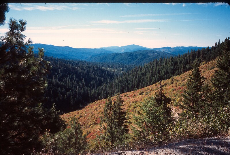
The view from the top of Bridge Creek Road. |
|
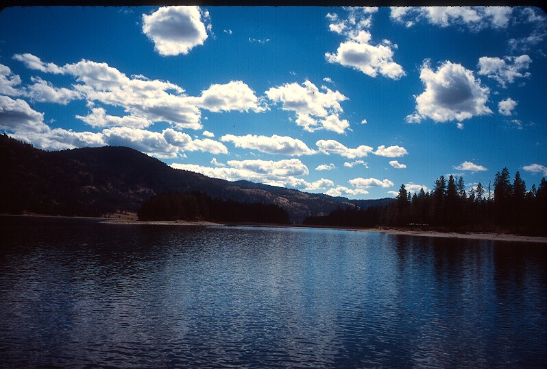
The Columbia river (leaving Colville Indian Reservation). |
|
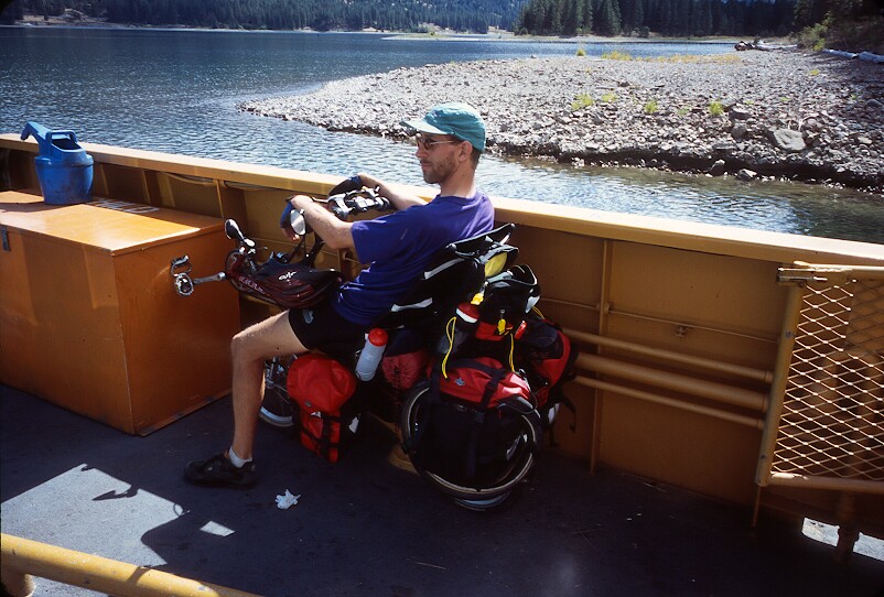
Larry taking a chance to relax on my bike. |