A Photo Trip up Mt. Evans
These pictures are all full-screen jpegs and gifs and
will take some moments to load.
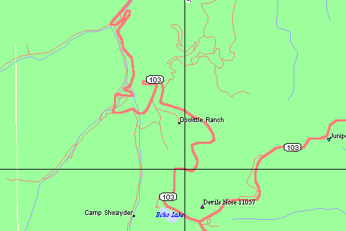
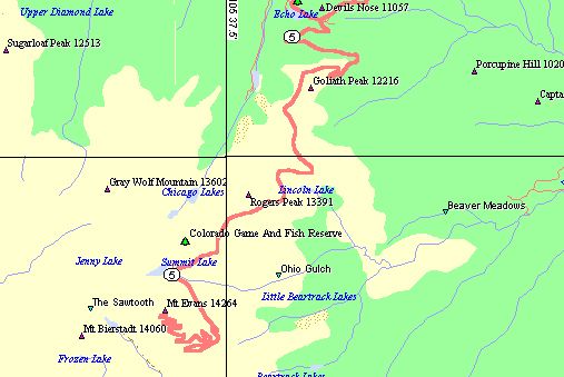
A map of the
route from my campsite to Echo Lake. My camping site was at the top
left center of the map, where the two streams join together.
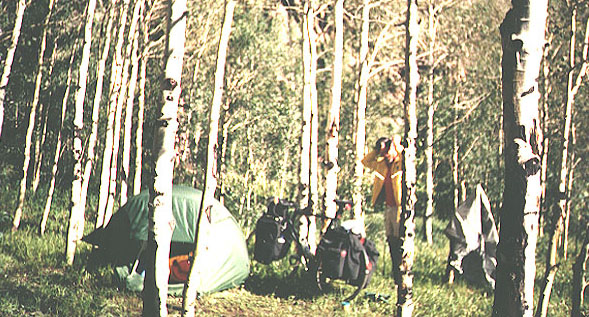
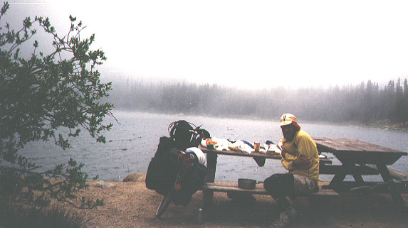
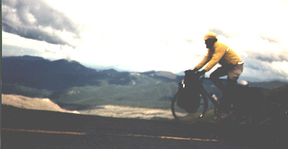
Breaking camp in the
morning. After a full day of rain, this morning started off with bright
sunshine that made me feel like getting a nude suntan rather that like
starting out. Fortunately I did not, as the first overlook looked right
down into my camp. In the picture, I am evidently combing my hair.
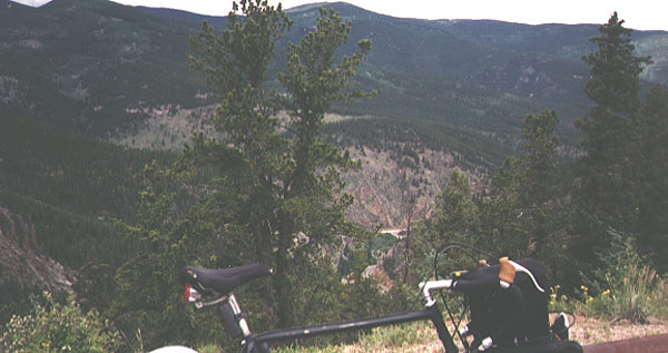
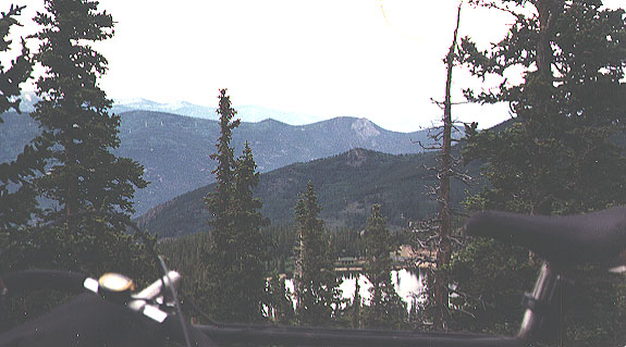
View back down
into the camp after climbing a ways. Looking over the topbar of the
bicycle, close to the stem, you can see the road below it, and down below
it at the next bend is my campsite. This was the second and last time I
could look down into my camp.
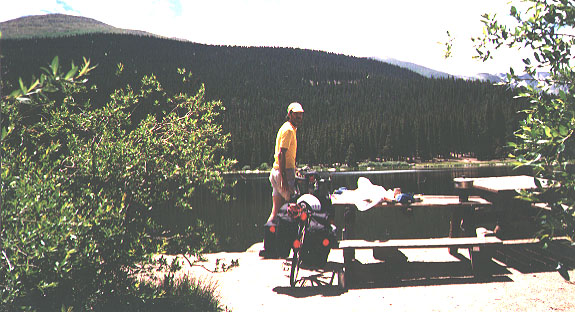
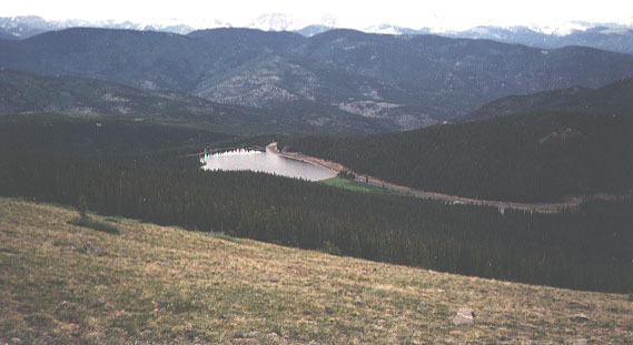
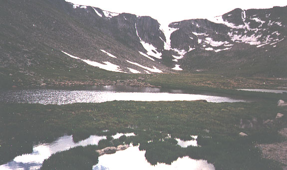
Echo Lake in the
hot sun shine. Even though Echo Lake is at a very high elevation, it
can be quite warm when the wind isn't blowing and the sky is clear.
Echo Lake a few
minutes later. However, when the wind begins blowing, the temperature
can drop quite drastically, especially if the wind brings clouds (fog).
A map of the
route from Echo Lake to the top of Mt. Evans. The greater number of
switchbacks along the road beyond Summit Lake is due to the greater
steepness of the mountainside there.
View back down
at Echo Lake from the first bend to the left. This is in the
approximate area where I camped for the night.
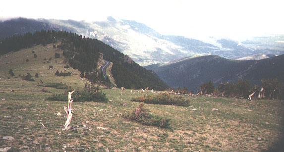
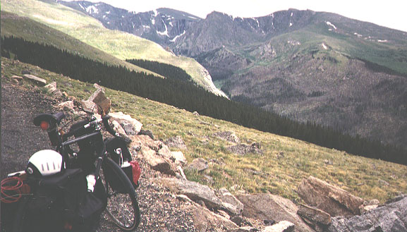
Looking back down
along the road from just above the tree line. The "tree line" is the
elevation above which trees can no longer grow. It ends abruptly because
one tree helps shelter another. Notice that the ridge line also strongly
affects the tree line. The trees at the edge of the tree line have
distorted and agonized shapes from their battles with the wind and snow.
Echo lake from above
the tree line. This area was visible in the picture from the lake.
Also notice that the area of my campground seems to be visible beyond and
below the lake.
Looking towards
the west. Note that the trees are able to use the hollows as
shelter. These patches of trees are visible on the map also.
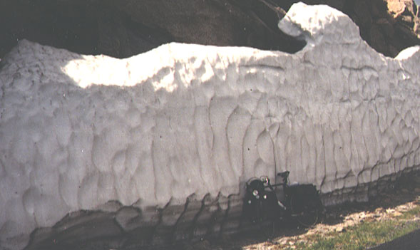
A snow bank along
the road. Because this trip was made on July 9, most of the snow had
melted. However, this section was protected from the sun.
Sheep next to the road
. These sheep were used to cars but afraid of a bicycle. Although
they look horrible, they were just shedding their winter wool. (Note: I had these mistakenly labeled as goats.)
Approaching a second
relatively flat area. So far, the road has been in excellent condition,
and I have traveled nearly ten of the fourteen miles to the top.
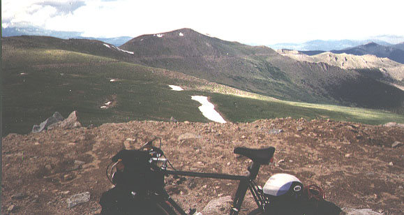
Summit Lake.
This area is probably a cirque or cwm formed by ice. Most vehicles stop
here, and most people do not attempt to climb to the top of Mt. Evans (on
the left). The road for the rest of the way is in poor condition and is
covered with snow for most of the year.
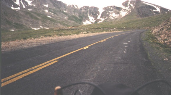
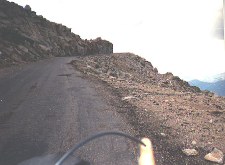
The road up. The
road beyond Summit Lake is narrow, often next to a drop-off, covered with
scars, and full of holes. My dad drove us up here when I was eleven, and I
had been having nightmares about this very road for many years. But I never
have had that nightmare since this trip.
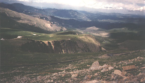
A view from a
switchback. This shot shows the road climbing up to Summit Lake and
along the south edge of the "flat" area below the lake.
A view to the
southeast. In the picture, the road beginning the final climb up Mt.
Evans can be seen.
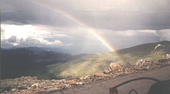
A rainbow
appeared along the way. It reminded me of the song: "Climb every
mountain, ford every stream, follow every rainbow, 'til you find your
dream."
A view of the
switchback below. The mountainside is steep enough to require me to
take the picture from the very edge. Stopping to take photos took very
little addition effort because I was having to stop frequently anyway.
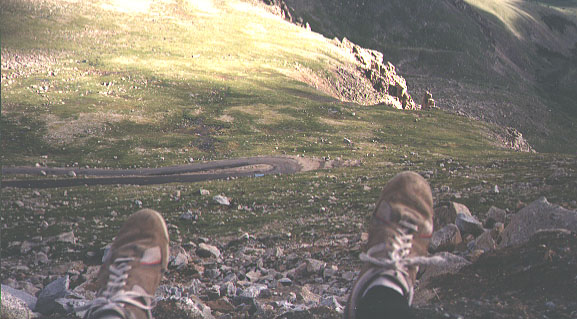
Looking down at the
road coming up to Summit Lake. As soon as I reached the top, I put on
warm clothes, took a few pictures, and descended. Below is the area near
Summit Lake and the road coming up to it.
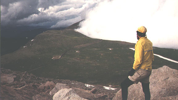
Another view at the
top. The terrain was like the moon, and the clouds suggested a storm.
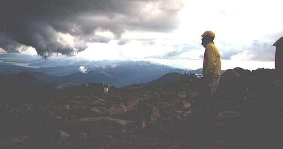
On the way back down
. In some ways, the trip down was more difficult than the trip up. The
bike rapidly gained speed, and the wind wanted to sweep me from the road.
In this photo, I am passing the Lincoln Lake area.
Journey to Colorado, Part III
| 